Disaster Risk Monitoring Using Satellite Imagery
NVIDIA Deep Learning Institute (DLI) · NVIDIA · Updated
AI Tutor Rating
8.6/10
Duration
8 hours self-paced
Classes
20
Apply deep learning to satellite imagery for disaster risk monitoring and environmental assessment using GPU-accelerated computer vision.
Disaster Risk Monitoring Using Satellite Imagery is an 8-hour, self-paced course from the NVIDIA Deep Learning Institute (DLI). The course teaches practitioners how to apply GPU-accelerated deep learning and computer vision to satellite data for detecting floods, fires, and damage patterns. It serves data scientists, developers, and environmental analysts looking to build and deploy AI models for automated disaster risk assessment and environmental monitoring pipelines, requiring a foundation in Python and machine learning fundamentals.
What you'll learn in Disaster Risk Monitoring Using Satellite Imagery
Our Review of Disaster Risk Monitoring Using Satellite Imagery
The Disaster Risk Monitoring Using Satellite Imagery course is structured as a focused, four-chapter progression from data processing to model deployment. The curriculum moves logically from Satellite Image Processing and Deep Learning for Remote Sensing to building specific Disaster Detection Models and finally Deployment and Monitoring. This 20-lecture, self-paced format suggests a hands-on workshop style typical of NVIDIA DLI, where learners likely work through practical coding exercises using NVIDIA's specialized tools and libraries. The structure is efficient for its 8-hour duration, aiming to deliver concrete, deployable skills rather than broad theoretical knowledge.
The course's depth appears significant, targeting a practitioner level. The learning outcomes promise the ability to process satellite imagery, detect specific disaster patterns, build computer vision models, and deploy assessment pipelines. This suggests learners will finish with a functional project or prototype applicable to real-world environmental monitoring. The prerequisite of Python basics and ML fundamentals is a serious gate, as the course dives directly into applied deep learning without introductory material. The $90 price point is moderate for a specialized technical course and includes a certificate of completion, adding tangible value for professional development and credentialing.
Ultimately, the value of Disaster Risk Monitoring Using Satellite Imagery hinges on its direct applicability. It is not a general computer vision course but a targeted workshop for a specific, impactful use case. The certificate and focused curriculum make it a worthwhile investment for professionals who need to quickly gain or validate skills in applying AI to geospatial problems, assuming they meet the technical prerequisites to engage fully with the hands-on content.
Pros and cons of Disaster Risk Monitoring Using Satellite Imagery
Pros
- Focuses on a high-impact, applied use case for AI in disaster response and environmental monitoring.
- Structured, hands-on curriculum that progresses from fundamentals to deployment of working models.
- Includes a certificate of completion, adding professional value to the $90 investment.
- Offered by NVIDIA DLI, ensuring instruction on GPU-accelerated tools and industry-relevant practices.
- Self-paced, 8-hour format allows for flexible learning around a practitioner's schedule.
Things to consider
- Requires solid prerequisites in Python and ML fundamentals, making it inaccessible for complete beginners.
- The self-paced, single-format delivery may lack the interactive guidance some learners prefer.
- The $90 fee, while moderate, represents a cost barrier compared to some free introductory resources.
Who should take Disaster Risk Monitoring Using Satellite Imagery?
This course is best for data scientists, machine learning engineers, or geospatial analysts with foundational Python and ML skills who need to rapidly implement satellite imagery analysis for disaster risk assessment. It fits professionals in environmental tech, humanitarian response, or government agencies seeking to build and deploy practical, AI-powered monitoring pipelines.
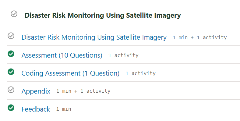
Course curriculum for Disaster Risk Monitoring Using Satellite Imagery
Disaster Risk Monitoring Using Satellite Imagery at a glance
| Provider | NVIDIA Deep Learning Institute (DLI) |
|---|---|
| Instructor | NVIDIA |
| Level | Intermediate |
| Time to complete | 8 hours self-paced |
| Pricing | $90 |
| Certificate | Certificate |
| Prerequisites | Python basics and ML fundamentals |
Fit
Best for
Not ideal for
The bottom line on Disaster Risk Monitoring Using Satellite Imagery
Disaster Risk Monitoring Using Satellite Imagery is a targeted, practical workshop that delivers valuable, deployable skills for applying deep learning to a critical domain. It is a strong choice for qualified practitioners but demands the stated prerequisites to succeed.
Disaster Risk Monitoring Using Satellite Imagery: frequently asked questions
What is the main focus of the Disaster Risk Monitoring Using Satellite Imagery course?
The Disaster Risk Monitoring Using Satellite Imagery course focuses on applying deep learning and GPU-accelerated computer vision to satellite data specifically for detecting disasters like floods and fires and for environmental assessment.
What background do I need before taking this NVIDIA DLI course?
You need Python basics and machine learning fundamentals as prerequisites to successfully engage with the Disaster Risk Monitoring Using Satellite Imagery course content.
Is the certificate from this course worth the $90 cost?
Yes, the included certificate adds professional credentialing value, and the $90 cost is moderate for a focused, hands-on technical workshop from NVIDIA's specialized training institute.
How does this course compare to a general computer vision course on Coursera or Udemy?
Unlike a general computer vision course, Disaster Risk Monitoring Using Satellite Imagery is a specialized workshop focused solely on applying those techniques to satellite data for environmental and disaster monitoring.
How can I get the most out of the Disaster Risk Monitoring Using Satellite Imagery course?
To get the most from this course, ensure you meet the Python and ML prerequisites and be prepared for hands-on, practical work building and deploying models as outlined in the curriculum.