Learn GIS
4 expert-rated courses covering GIS. Compared by rating, price, difficulty, and job relevance so you can pick the right one.
GIS skills are in high demand across sectors like urban planning, environmental management, transportation, and business intelligence. The average GIS analyst salary in the US is $72,000, with the job market projected to grow 10% by 2026 as organizations leverage location-based insights for strategic decision-making.
Catalog analysis updated . Ratings are independent editorial scores. Read the rating methodology.
Key Facts About GIS
- 1GIS combines cartography, spatial analysis, and data management to create interactive maps and visualizations.
- 2Popular GIS software include ArcGIS, QGIS, Google Earth Engine, and Mapbox - used for tasks like spatial modeling, urban planning, and resource management.
- 3GIS data sources include satellite imagery, GPS, census records, and crowdsourced volunteered geographic information (VGI).
- 4Key GIS skills include spatial data acquisition, geodatabase management, geoprocessing, and cartographic design.
- 5GIS is widely applied in fields like forestry, public health, disaster response, real estate, and business intelligence.
Top GIS Courses
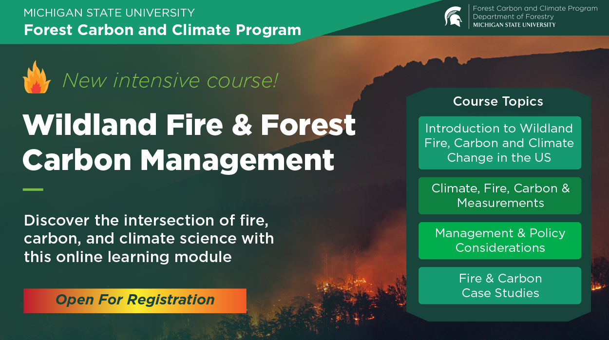
Forestry and Wildland Management
Connect with the land and build sustainable skills that matter in this hands-on course. Forestry management covering timber cruising, silviculture, fire management, GIS for forestry, watershed protection, and sustainable forest certification (FSC). Created by professionals with hands-on experience in farming, conservation, and land management - instructors who work in the field, not just the classroom.

GIS and Remote Sensing for Environmental Science
Gain the practical knowledge to manage natural resources responsibly in this field-ready course. GIS and remote sensing applications for environmental management covering QGIS, satellite imagery analysis, land use mapping, spatial analysis, and environmental monitoring. Features real-world case studies from working farms, conservation projects, and environmental agencies across multiple ecosystems.

Sustainable Energy Solutions for Buildings
Master the techniques that modern farmers, conservationists, and land managers rely on in this course. Gain the knowledge to manage natural resources responsibly in this course. Energy efficiency for buildings covering building energy auditing, LEED certification, passive design strategies, green building materials, and retrofit planning. Covers regulations, best practices, and emerging technologies - preparing you for careers in agriculture, conservation, or environmental science.
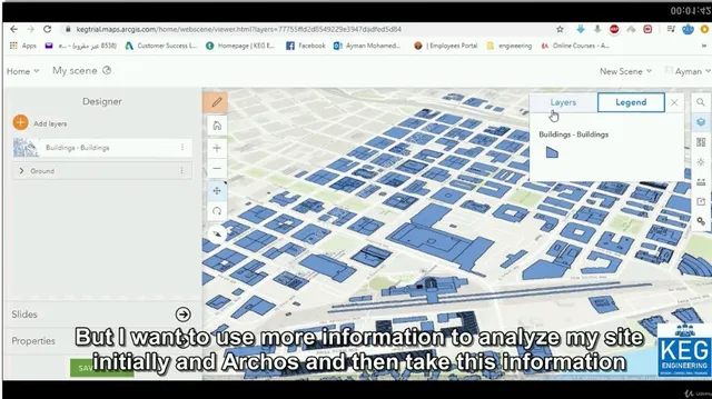
BIM and GIS Make Cities Smarter: Infraworks-Civil 3D-ArcGIS
The collaboration between BIM and GIS for smart city information management covering Infraworks, Civil 3D, and ArcGIS for urban planning.
Pro Tips for Learning GIS
- #1Start with introductory GIS courses to build a solid foundation in spatial data management and analysis.
- #2Practice hands-on with GIS software like QGIS or ArcGIS to develop technical skills and a portfolio of real-world projects.
- #3Stay up-to-date with emerging GIS trends and technologies, such as the integration of GIS with AI, machine learning, and cloud computing.
Why Learn GIS?
- Develop in-demand skills for a variety of GIS-related roles like GIS analyst, urban planner, environmental scientist, or business intelligence specialist.
- Gain the ability to visualize and analyze complex spatial data to support data-driven decision-making in your organization.
- Become proficient in leading GIS software and technologies, making you a valuable asset in a job market that increasingly prizes location-based insights.